
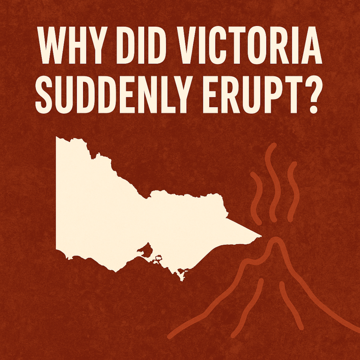
The Geological Mystery of Australia’s Forgotten Volcanoes
Why Victoria Suddenly Began to Erupt After 200 Million Years of Silence
Around 90 million years ago, something extraordinary happened beneath Victoria.
After hundreds of millions of years of geological silence — no eruptions, no lava flows, no magmatic intrusions worth mentioning — the ground began to tremble.
Basaltic magma rose through cracks in the crust. Lava spilled across the landscape. Tiny cinder cones and lava fields began to dot what is now south-eastern Australia.
It was the beginning of the Older Volcanics Province — and it marks one of the most fascinating geological mysteries in Australian history.
Here’s the question we’re tackling today: Why did these eruptions suddenly begin in a place where nothing had erupted for over 200 million years?
A Long Silence
Let’s start with the calm before the storm.
Between roughly 300 and 100 million years ago, Victoria was a stable piece of crust, welded onto the southern edge of the old supercontinent Gondwana.
The mountain-building that had once shaped eastern Australia — the big orogenic events that folded rocks and pushed up granite batholiths — was long over.
The crust had cooled, hardened, and settled down.
For two hundred million years, not a single major eruption disturbed that peace.
If you stood here during that time, you’d be walking across rivers and floodplains — not lava.
The Earth’s fiery heart was still there beneath your feet, of course, but sealed away behind thick, solid crust.
And then, around 95 to 90 million years ago, something broke that silence.
The Great Unzipping
To understand what changed, we have to zoom out — way out — to a time when Gondwana was starting to come apart.
Picture a giant supercontinent stretching from Antarctica to South America, from India to Australia.
Now imagine the outer edges of that vast landmass slowly stretching and cracking.
That’s what was happening in the Cretaceous Period, around 100 million years ago.
The eastern edge of Gondwana — where Victoria sat — was being pulled apart.
To the east was Zealandia (which includes modern New Zealand and the Lord Howe Rise).
To the south was Antarctica.
And between them all, the crust began to split.
This was the birth of the Tasman Sea — and it’s the real reason Victoria started to erupt.

A Continent Begins to Crack
When a continent starts to rift, the crust doesn’t just tear neatly like a sheet of paper. It stretches, thins, and fractures.
As that happens, the hot, soft rock beneath — the mantle — rises upward to fill the space.
And when it rises, the pressure drops.
When pressure drops, part of that rock begins to melt.
That’s how magma is born.
You don’t need extra heat — just a bit of stretching.
So as the crust beneath southeastern Australia thinned, small pockets of molten rock began forming deep underground.
Those melts — rich in iron and magnesium — forced their way up through ancient faults and fractures.
Eventually, they broke through to the surface.
That’s when the Older Volcanics Province was born.
Victoria’s First Fire
The first eruptions weren’t explosive like Vesuvius or Krakatoa.
They were quiet, oozing, sometimes little more than lava fountains spilling over low hills.
Thin basalt flows spread across valleys, cooled, and hardened into black rock.
If you could stand there 90 million years ago, you’d see fiery cracks glowing in the night — the earth slowly bleeding molten rock after two hundred million years of stillness.
Geologists have found the evidence scattered across Victoria — from the Otway Ranges to East Gippsland.
Some flows are buried deep beneath younger sediments. Others still poke through as dark, weathered outcrops.
Collectively, they form what’s known as the Older Volcanics, dating from about 95 to 18 million years ago.
It wasn’t one continuous eruption — more like flickers of activity over a very long time.
Erupt for a few million years, pause for tens of millions, erupt again.
A geological heartbeat, pulsing through the Cretaceous and into the early Miocene.
Locations of The Older Volcanics Today:
Let’s take a look at some of the places where you’ll find older volcanics exposed on the surface. Bacchus marsh is one area. The Pentland hills volcanic group erupted at some point between 66 and 33.9 million years ago and it’s exposed in a rather large section of the area.

In the Melbourne area we have a layer known as the Greensborough Basalt which erupted between 23-20 million years ago. It can be found around Watsonia, Kangaroo Ground, and other places like Chirnside Park near Croydon North. In the Melbourne CBD itself, we have an outcropping of the Tullamarine Basalt. This spread quite far and its dated to between 23 and 16 million years ago. It stretches from the CBD all the way up to the Melbourne airport. If you look closely, you can see that much of this layer has been covered by the basalt lava flows associated with the Newer volcanics province. The Tullamarine basalt pokes its head out in areas where the newer lava flows got cut through by meandering rivers, like near the Maribyrnong.


Near Drouin we have quite a large lava flow that covered much of the area and is dated to 33.9 to 16 million years ago.

And the last flow we’ll look at is the very large Thorpdale group, dated to between 66 to 18 million years ago. These are just a few of the older volcanics that we can find outcropping at the surface in present day. There are many more layers we haven’t looked at, and there are many lava flows that have been buried by more recent eruptions or by sedimentation.

The Science Behind the Fire
When scientists analyzed the chemistry of these ancient lavas, they found a fascinating story hidden in the elements.
Each batch of magma was slightly different — some rich in certain rare-earth elements, others depleted.
This told geologists that the magma didn’t come from one deep, uniform source like a classic “hotspot.”
Instead, it was melting of the local mantle — the rock beneath Victoria itself.
The mantle here wasn’t plain and boring; it had been “seasoned” long ago by ancient subduction zones and tectonic mixing.
So when the crust stretched and that mantle started to melt, different pockets produced slightly different flavors of magma.
That’s why the Older Volcanics vary so much from place to place.
It’s like Victoria’s lithosphere was a patchwork quilt — each patch melting just a little when the rifting began.
Not a Hotspot — Something Smarter
Now, when people hear “volcanism in Australia,” they often think of hotspots — deep mantle plumes that stay fixed while the continent drifts overhead.
That’s how Hawaii works.
And some scientists have proposed a similar idea — the Cosgrove hotspot track, which supposedly explains the younger Newer Volcanics Province in western Victoria.
But the Older Volcanics don’t line up neatly like that.
They aren’t arranged in a tidy age progression, and their chemistry doesn’t match what you’d expect from a deep mantle plume.
Instead, geophysicists think something more subtle was happening — something called edge-driven convection.
Don’t worry about the jargon — here’s what it means:
Imagine the base of the continent where thick old crust meets thinner, younger crust.
As heat rises through the mantle, it starts to roll like water boiling in a pot.
Those slow, swirling currents can melt small pockets of mantle along the edges of the lithosphere.

In other words, the eruptions came not from a single plume shooting up from the deep Earth, but from gentle mantle currents rolling beneath a stretched and uneven crust.
And once those convective rolls started, they could keep generating small eruptions for tens of millions of years — long after the rifting stopped.
That’s why Victoria kept erupting sporadically for nearly a hundred million years.
When Oceans Were Born
When they first began erupting, the Tasman Sea didn’t exist yet.
The crust between Australia and Zealandia was still continental — stretched, faulted, but not yet replaced by oceanic crust.
That came later, around 83 million years ago, when seafloor spreading finally began and the first strips of new oceanic crust were created.
A few million years after that, spreading extended southward, separating Australia from Antarctica and giving rise to the Southern Ocean.
So the lavas that erupted in Victoria weren’t just random.
They were part of the same tectonic event that unzipped Gondwana and gave birth to two new oceans.
Every flow, every basalt cone, was a surface ripple of that deep continental breakup.
Where the Lava Broke Through
If you map the Older Volcanics, you’ll notice they cluster along certain regions — especially near the Otway Basin, the Gippsland Basin, and parts of central and eastern Victoria.
These weren’t coincidences.
They were the weak points — places where old faults and fractures from earlier mountain-building events cut through the crust.
When rifting stretched the continent, those same scars reopened, acting like geological escape routes for the magma below.
Even the chemistry of the lava changes depending on which basement block it erupted through.
In some places, magmas that erupted over the Selwyn Block — an ancient piece of crust — show lower strontium isotopes than those elsewhere.
That tells us the deep architecture of the crust itself shaped the way magma formed and where it reached the surface.
A Volcanic Legacy That Never Quite Died
The fascinating thing about Victoria’s volcanic history is how persistent it’s been.
Once the rifting began, volcanism never truly stopped.
It just… faded in and out.
After the Older Volcanics ended around 18 million years ago, the region went quiet again — but not for long.
By around 6 million years ago, new vents began to open in western Victoria.
These formed the Newer Volcanics Province, the one that built Mount Napier, Mount Eccles, and hundreds of smaller cones across the plains.
Those are the volcanoes we can still see today — and some of them are only a few thousand years old.
That means Victoria isn’t entirely extinct volcanically.
It’s dormant.
The system that started nearly 100 million years ago may still be smoldering deep below.
Seismic studies even show areas of low-velocity mantle under western Victoria — basically hotter, softer rock — and carbon dioxide still seeps from mineral springs across the region.
So while we’re not likely to see lava anytime soon, the Earth under Victoria is not completely asleep.
The Bigger Picture
So, let’s zoom back out again.
Victoria’s sudden volcanism 90 million years ago wasn’t an isolated event.
It was the visible sign of a global-scale process — the fragmentation of Gondwana, the rearrangement of continents, and the birth of new oceans.
It began when the lithosphere started to thin.
Melting followed.
Magma rose through old fractures.
And the continent that had been silent for hundreds of millions of years found its voice again — in lava.
When we look at those ancient basalt outcrops today, we’re really looking at the scars of a supercontinent breaking apart.
A Continent Awakes
If you could stand in Victoria 90 million years ago, you’d see smoke curling up from the hills.
You’d feel the ground rumble under your feet as molten rock pushed its way through cracks.
The air would smell of sulfur and scorched earth.
And beyond the horizon, the land that would one day become New Zealand was drifting slowly away — tearing a newborn sea between itself and Australia.
That’s the backdrop of these ancient eruptions: not chaos, but creation.
The fires beneath Victoria were part of the Earth reshaping itself — turning one supercontinent into three new worlds.
The Moral of the Story
When we talk about Victoria’s volcanic past, we’re really talking about Earth’s endless cycle of stillness and renewal.
For hundreds of millions of years, the land was silent — the crust thick and unmoving.
Then one day, the world changed direction.
The plates shifted.
The stress built.
And the silence broke.
That’s what happens when a supercontinent dies: the planet breathes out.
Here's the video we made on this on the OzGeology YouTube Channel:
Share:
Translation missing: en.general.search.loading